
We take GPS (global positioning system) for granted, as we use map apps to help us find an unfamiliar location and to track a bus on its route. We can track cars, pets and people!
However, it is not so long ago when this was science fiction, rather than science fact. Part of the history of the development of GPS includes Gladys West, who contributed to the accuracy of GPS through her development of models of the earth.
Gladys was a mathematician who worked with data from the first satellites, analysing it to develop a detailed understanding of the shape of the Earth including such things as the height of the sea.
As well as this essential work that supported the development of GPS, Gladys also worked on the first sea observation satellite, vital in understanding climate change.
Read more about Gladys’ work on the cs4fn website.
CLASSROOM IDEAS
PSHE&C: Think about the ethical dimension of using GPS to track people. How might this help those with memory problems, keep children safe or how might it be used in a negative way?
This work was supported by the Institute of Coding, which is supported by the Office for Students (OfS).
Visit ‘Celebrating Diversity in Computing‘
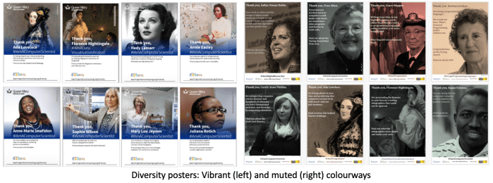
Or click here: Celebrating diversity in computing
